Maps
United Kingdom, Maps.
Australia and New Zealand, Maps.
United States of America, Maps.
South Africa, Maps.
United Kingdom, Maps
-
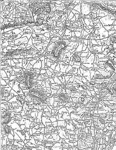
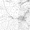
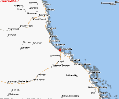
Ordnance Survey map of West Cornwall, 1853 - 93
showing Liskeard, Callington, Calstock.
-
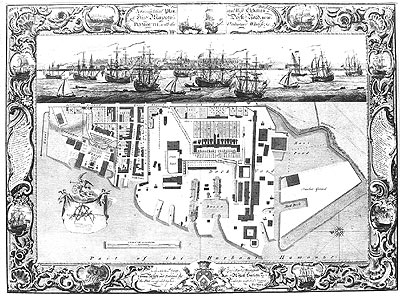
Devonport Dockyard c 1830.
-
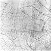
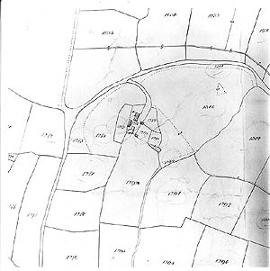
Map of St Cleer.
-

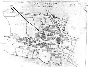
Calstock, Cornwall, about 1870.
-
Survey Map of St Cleer 1907.
-
Map of Calstock.
-
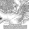
Map of Plymouth, Devonport and Stonehouse, 1881.
-

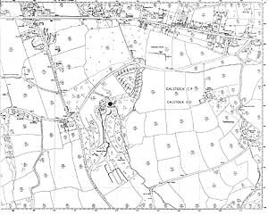
Ordnance Survey Map, 1976, showing Honicombe.
-
Devonport, c 1850.
|
|
-
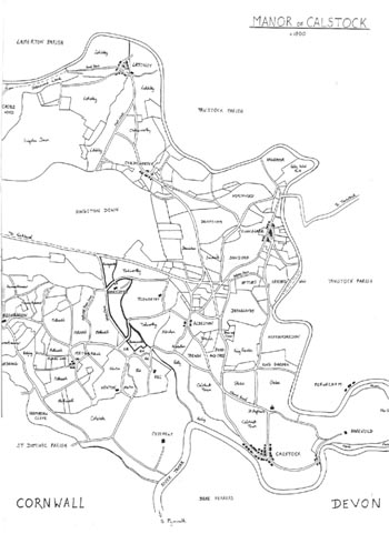
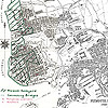
Map of the Parish of Calstock, Cornwall, showing Honeycombe,
c 1800.
-
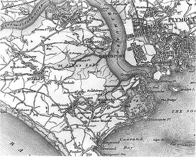
Plymouth, Devonport, Millbrook, Maker, 1806,
Cremyll and Torpoint Ferries.
-
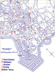
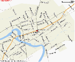
Town plan of St Helier.
-
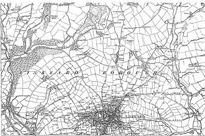
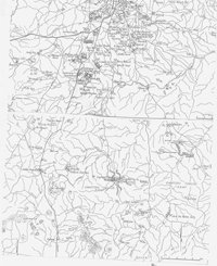
Map of Liskeard Borough.
-
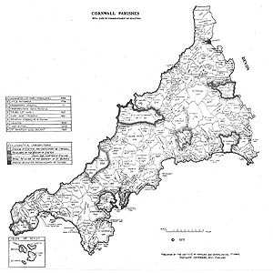
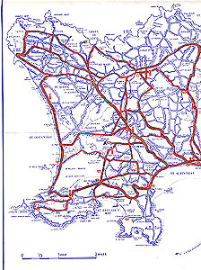
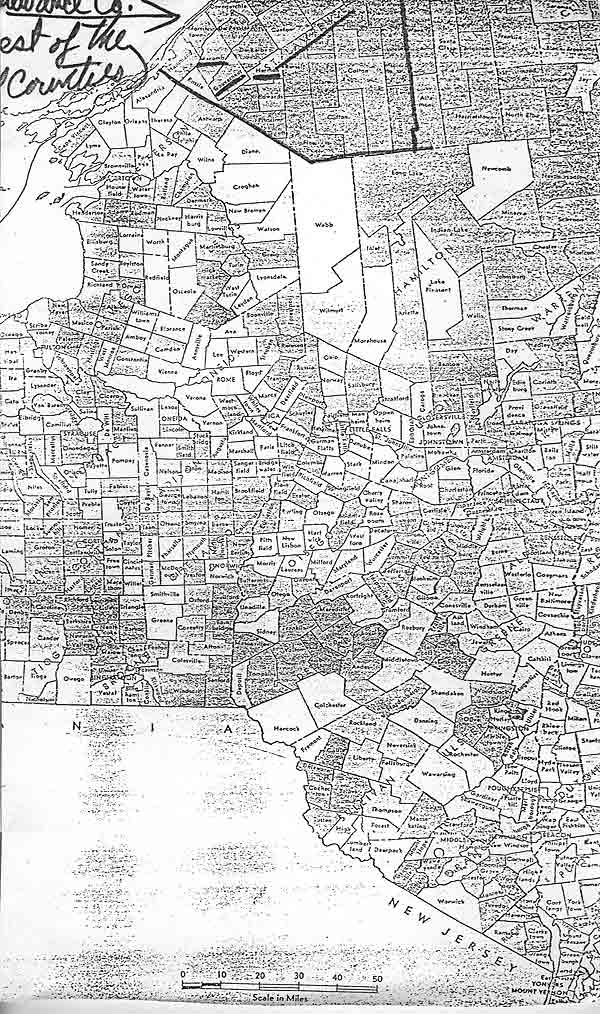
Parishes in Cornwall, 1975.
-
Map of Calstock.
-
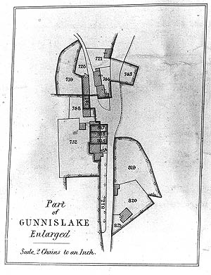
Part of Gunnislake.
-
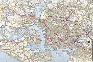
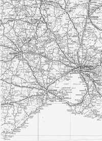
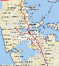
Plymouth and Saltash, 1977, showing Millbrook, Maker,
Devonport, Mount Edgcumbe and Empacombe beach.

|
Australia and New Zealand, Maps
-
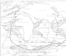
The voyage to Australia from England, showing the original
route via Cape Town, and the Great Circle route.
-
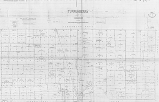
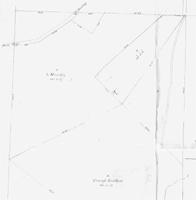
Map of land held by William Honeycombe and the Mountjoys
at Turrumberry, Echuca, 1880.
-
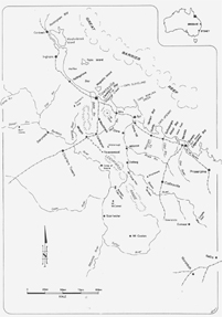
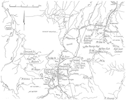
Townsville, Ayr, Home Hill, Ravenswood and Charters Towers, 1960.
-
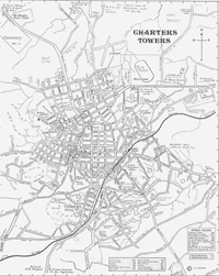
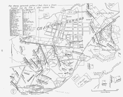
Charters Towers, 1975.
-
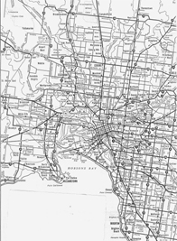
Townsville, Ayr and Charters Towers.
|
|
|
United States of America, Maps
South Africa, Maps
|
|
*/\*
|
|
|